Non-Point Source Pollution Modelling of Dahuofang Reservoir Catchment, NE China
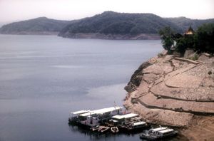
Dahuofang Reservoir in Lioaning Province, NE China is an important source of drinking water supply for over 10 million people. A research project was carried out by the Water Resources Management Component of the Lioaning Integrated Environmental Programme (LIEP), to assess the relative impact of point source and non point source pollution on phosphorus and nitrogen levels in the reservoir. The project's recommendations were incorporated in a reservoir catchment management plan.
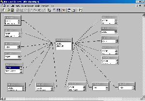
Andreas de Jong was responsible for the water quality modelling aspect of the project. Working together with a team of Chinese experts, he set up a GIS based model of Phosphorus and Nitrogen distribution within the catchment that was used to test a number of management options.
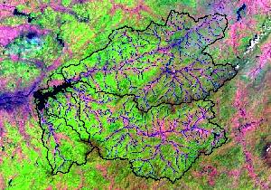
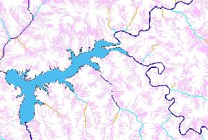
A digital elevation model (DEM) was set up in ArcView Spatial Analyst with a grid size of one hectare. The positions of rivers and watersheds were digitised, and "burnt" into the DEM to improve spatial accuracy.
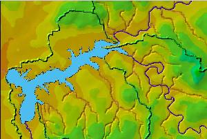
Any holes (depressions) in the DEM were filled, and a flow direction and flow accumulation grid set up.
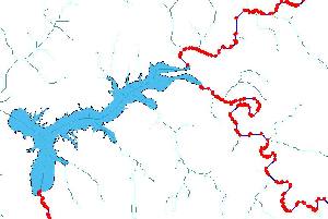
An artificial stream network was generated from the flow accumulation grid. The stream network was classified into a series of nodes which would serve as water quality "sampling points" for model output.
A runoff grid was calculated from precipitation. Actual gauged flows were used to calibrate monthly runoff coefficients.
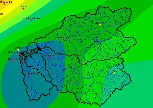
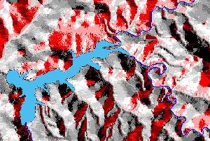
A Landsat satellite image was used to classify land use. N & P export coefficients were assigned to various land use polygons.
A load grid was calculated for these non-point source pollution sources.
N & P exports from sources such as industries and major towns were assigned to a point pollution source load grid.
The spatial distribution of total N & P loads were assigned to a pollution grid by letting the loads from the point and non-point sources 'flow' down the slopes and stream channels of the digital elevation model.
N & P concentrations were estimated by comparing the pollution grid with the runoff grid and applying appropriate decay coefficients. The results compared well with measured concentrations.
The model was re-run for a range of intervention options.
It confirmed the need for waste water treatment works for a number of towns in the catchment as proposed in the Liao River Basin Plan, set up by the WRM component.
The recommendations were presented in the Dahuofang Reservoir Catchment Water Quality Protection Plan.