Groundwater Exploration Services
Modern groundwater exploration demands that large areas of unknown territory are covered very quickly, and that aquifers are located, mapped in three dimensions and evaluated with confidence for their suitability as sources of water.
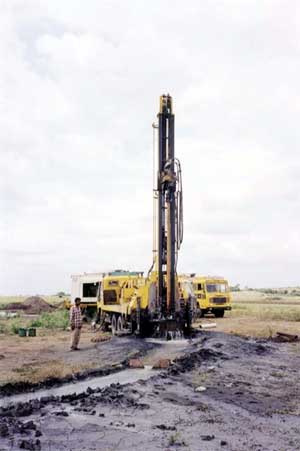
In many remote areas of the world, hydrogeological information is sparse. Decisions have to be based on incomplete information and expensive wells and boreholes are initiated that have a disappointing success rate.
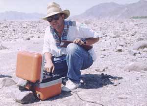
Surface geophysical techniques are applied as tools to bridge the gap between the initial hydrogeological evaluation and the drilling campaign. Geophysical methods such as DC resistivity have been used successfully for many years to achieve this aim.
Recently, the Time Domain Electromagnetic (TDEM) technique has proved itself as an even more flexible and cost-effective method, especially in the arid areas of the world.
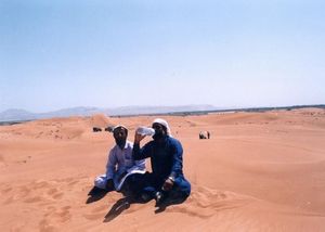
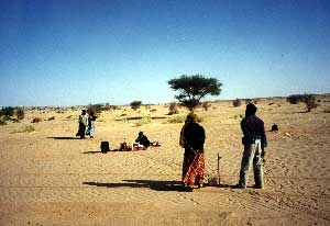
We have executed TDEM surveys for groundwater exploration in the deserts of the United Arab Emirates, the Sultanate of Oman and the Islamic Republic of Pakistan. We have mapped aquifers hidden below superficial sand dunes, wadi gravel deposits and clays in the quest to find the famous 'underground rivers' that have been the source of many legends in the Middle East.
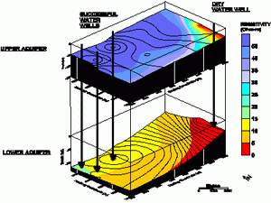
The TDEM technique is particularly suitable for defining the depth to the base of the freshwater lens in coastal areas, and unlike the resistivity technique can 'see' the more resistive layers of fresh water that are sometimes found below salt water intrusion fronts in multi-layered coastal aquifers.