Integrated Water Resources Management in NE China
The EU-China funded Liaoning Integrated Environmental Programme (LIEP) aims to assist Liaoning Province in its efforts to tackle the interrelated issues of pollution abatement, economic modernisation and social restructuring.
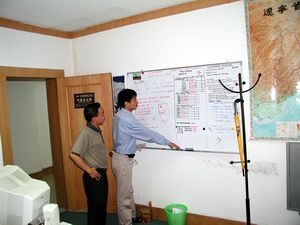
As team leader of the Water Resources and Quality Section within the Water Resources Management Component, Andreas de Jong was jointly responsible with his Chinese counterpart for the setting up of an integrated surface and groundwater model and a surface water quality model covering an area of 70,000 Km2 to aid in the selection of appropriate water management and pollution reduction strategies.
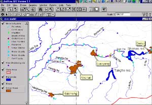
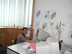
The results were an integral part of the Liao River Basin Plan, an integrated water resources and pollution control plan, set up by the component. All data and modelling results were presented using ArcView GIS. Local counterparts were trained in all aspects of data management including databases and GIS.
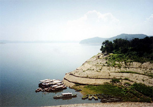
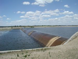
The key water resources issues of the Liao Basin within Lioaning Province centre around the management of large upland reservoirs, rivers, and groundwater well fields. A fine balance must be maintained between flood protection measures, industrial, domestic and agricultural water needs and environmental concerns.
Liaoning Province has a low per capita water availability of 535 m3/year, compared with the Chinese national average of 2,300 m3/year . When river flows reduce during the dry season, dilution of industrial and domestic effluents is minimal and some river sections exceed national water quality guidelines.
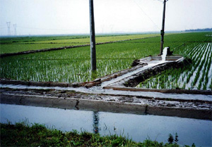
Groundwater supplies much of the agricultural irrigation needs, and in excess of 70% of the large cities water supplies.
The Water Resources and Quality Section inventoried and processed all available information on the key water resources issues in the project area.
An ArcView GIS was set up and linked to the project Access database.
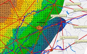
Working closely with the Pollution Control Section, a steady state water quality model was set up to evaluate the impact of existing pollution sources and prioritise the implementation of WWTWs.
Ownership and use of the model was enhanced by its translation into Chinese.
An integrated groundwater-surface water model was set up to understand the water resources issues in the project area, and make appropriate recommendations.
The team's work was an integral part of the iterative process concluding in the Liao River Basin Plan, which proposes a long term strategy to improve Liaoning's environmental and water resources concerns.
The implementation of the highest priority pollution interventions was initiated immediately by Lioaning Province with support from the World Bank.
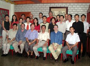
Meet the Water Resources Management team!