Geographical Information Systems (GIS)
Andreas de Jong is an expert in ArcView GIS and Access databases. Setting up a project database and a GIS is a critical aspect of most projects, even if it is not always specified in the TOR. Once the spatial dimension is introduced to a project, many priorities become self-evident and perceptions of reality are improved. Andreas also runs on-the-job training courses and workshops for ArcView GIS.
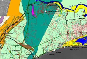
In Ghana the GIS was used as a planning tool to prioritise groundwater exploration areas for small towns.
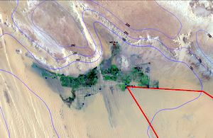
In Egypt the GIS proved invaluable at comparing the location of flowing artesian wells in the Western Desert with irrigated areas.
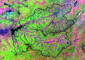
In China the GIS was a critical tool to assign nitrogen and phosphorus export loads to different land use areas. The results were used to prioritise management options for the catchment of a large upland reservoir supplying over 10 million people with drinking water.
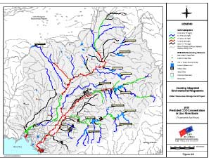
In China the GIS was used not only to organise but also to present critical water resources and environmental issues of the Liao River Basin to a wide ranging audience.